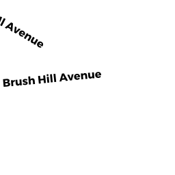
433 BRUSH HILL AVE
Owner Information
CROWELL, NATHAN & RHODA L
433 BRUSH HILL AVE
W SPRINGFIELD, MA 01089


Property Details
433 BRUSH HILL AVE is classified as a Single Family Residential (Cape cod).
The primary structure on this property was built in 1987. There are 3,512ft2 of built area within this property. There is 1,559ft2 of residential/living space within this property.
433 BRUSH HILL AVE is valued at $287,900. The land is valued at $121,100 and the structures are valued at $166,500. There is an additional valuation of $300 on this property.
This property is in Zone RA-1. Confirm with local Zoning Board authorities to ensure there are no overlays or other easements on this property.
The most recent deed for 433 BRUSH HILL AVE is recorded at the local registrar in Book 8408, Page 0009. 433 BRUSH HILL AVE was last sold on Thursday, May 6, 1993 for $0.
Assessment data from fiscal year 2022.
Flood Data
According to the FEMA National Flood Hazard Layer, this property does not appear to be in a flood zone. It may also be in an area not yet reviewed. Nonetheless, confirm this information prior to taking any action.
To view the flood hazards around this property, create a FEMA "Firmette" Map of the area around 433 BRUSH HILL AVE.
Broadband Internet Providers
| Provider | Type | Bandwidth (mbps) | |
|---|---|---|---|
| Viasat Inc | Satellite | 100 | 3 |
| T-Mobile | Fixed Wireless | 25 | 3 |
| Comcast | Cable | 1000 | 35 |
| HughesNet | Satellite | 25 | 3 |
| GCI Communication Corp. | Satellite | 0 | 0 |
| VSAT Systems, LLC. | Satellite | 2 | 1 |
| Verizon New England Inc. | DSL | 3 | 0 |
Broadband service provider data from December 2020.
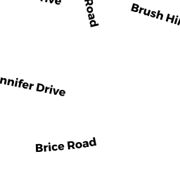
Adjacent Properties
- REAR BRUSH HILL AVE
Truck Crops - vegetables (Ch. 61A, not classified as Open Space) owned by LAPINSKI, GLENN E & KENNEY H P - BUCKLAND AVE
Undevelopable Residential Land owned by LEWIS, MARY E (L/E) - 36 FALVEY ST
Single Family Residential owned by STEVENS, RAYMOND J III - 419 BRUSH HILL AVE
Single Family Residential owned by DUQUETTE, RICHARD J - 445 BRUSH HILL AVE
Single Family Residential owned by WRONA, DAVID F & DOROTHY C - 477 BRUSH HILL AVE
Single Family Residential owned by FLORES, JUAN C - PIPER RD
Nature Study - areas specifically for nature study or observation (Ch. 61B, not classified as Open Space) owned by KULIG, JOSEPH A & ELIZABETH M